- Home
- Presentation of the agency
Presentation of the agency
Agency of the Hydraulic Basin of Sakia El Hamra and Oued Eddahab
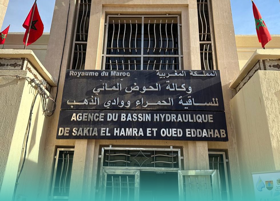
The Agency of the Sakia El Hamra and Oued Eddahab Hydraulic Basin is a public administrative institution with legal personality and financial autonomy. It was created by Decree No. 2-08-508 of February 5, 2009, amended and supplemented by Decree No. 2-17-690 of December 29, 2017, relating to the Hydraulic Basin Agencies.
Presentation of the Basin
Missions of the Sakia El Hamra and Oued Ed-Dahab Hydraulic Basin Agency
Conducting measurements, investigations, and necessary studies to assess and monitor the evolution of the state of water resources both...
Read moreDeveloping the Master Plan for Integrated Water Resources Management, Local Water Management Plans, and Drought Water Scarcity Management Plan...
Read moreIssuing Permits and Concessions for the Use of the Hydraulic Public Domain, Maintaining a Special Register for These Permits...
Read moreUndertaking, in partnership with the administration, public institutions, and local authorities, the implementation of actions necessary for the prevention...
Read moreTo give an opinion on any project that may have an impact on water resources and the public hydraulic...
Read moreTo provide, according to modalities set by regulations and within the limits of its capacities, any financial contribution and...
Read more