

23
Nov
2023
23
Nov
2023
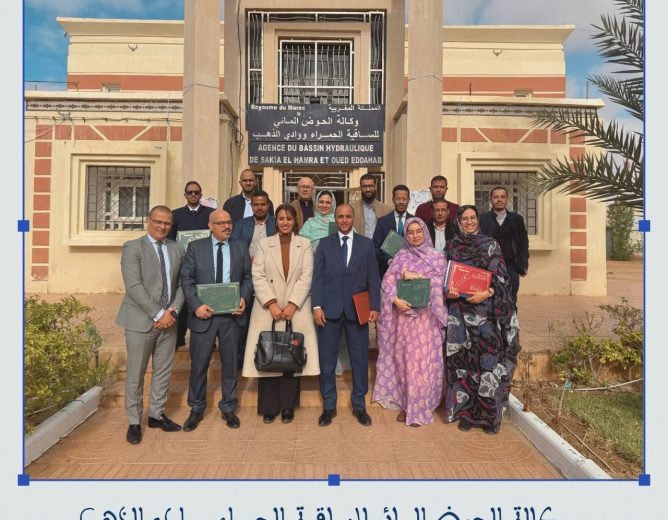
10h00 - 0h00 @ 25 November 2023
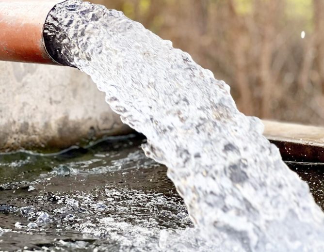
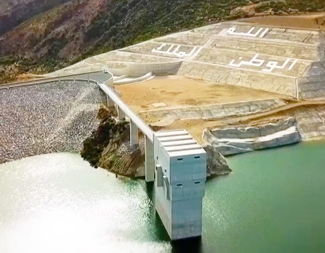
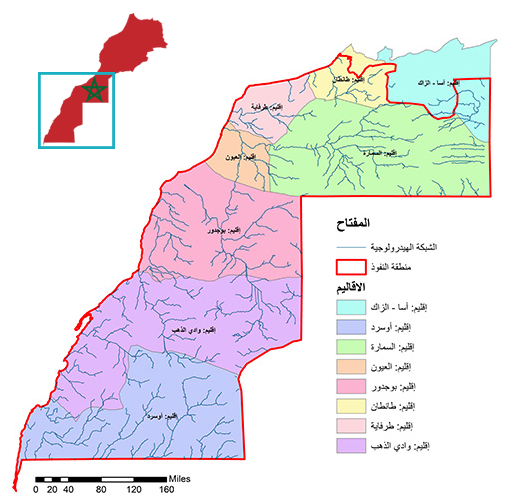
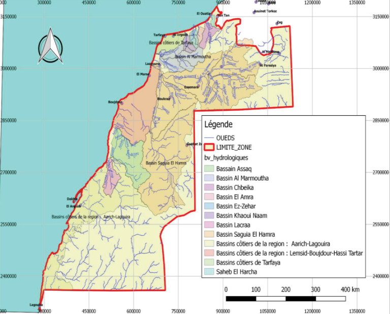
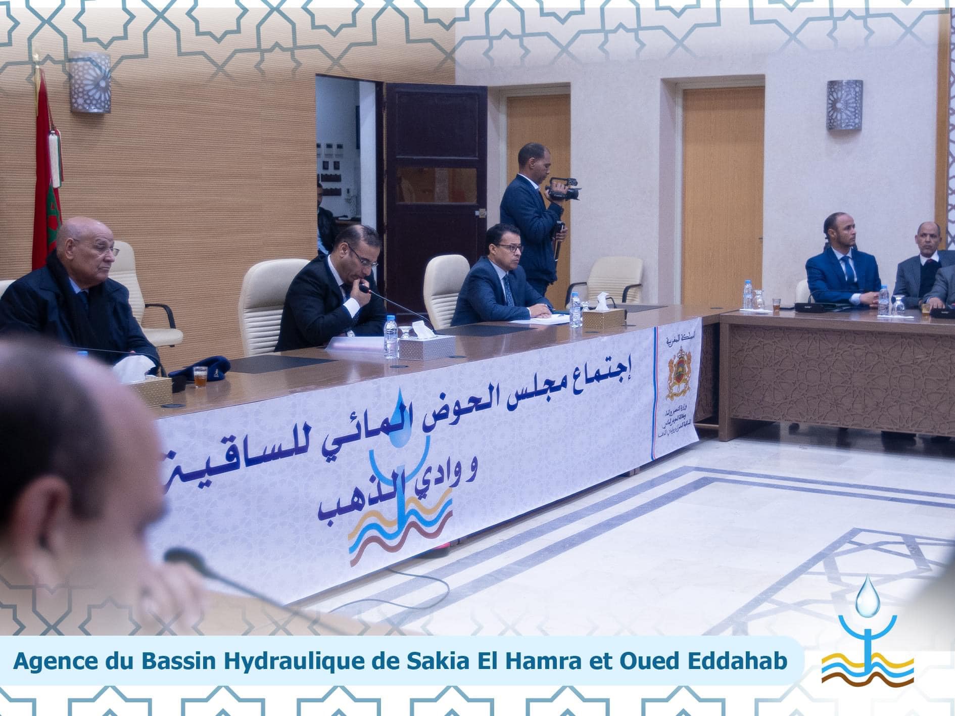
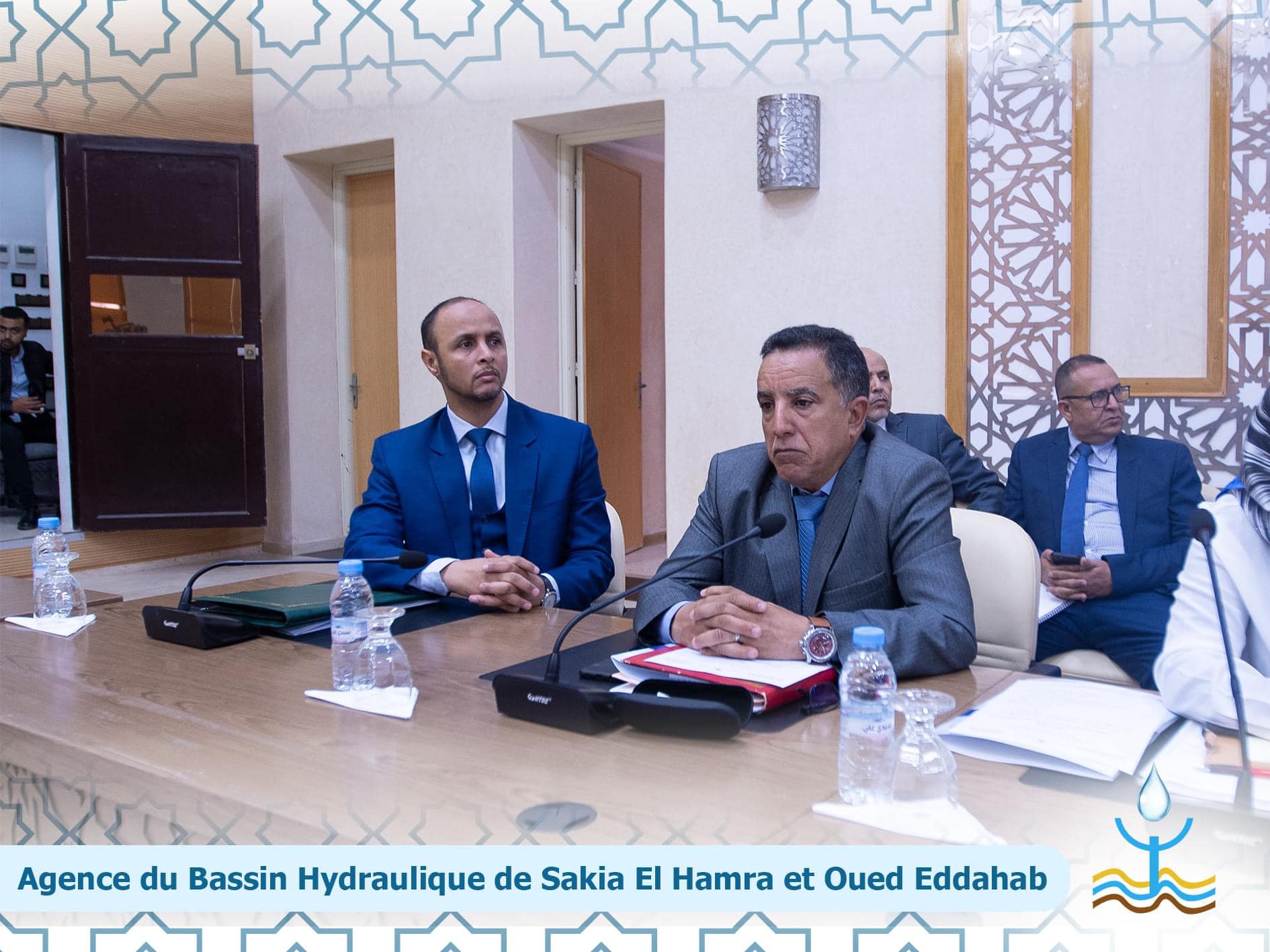
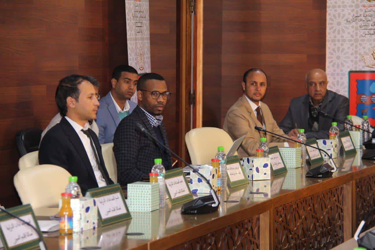
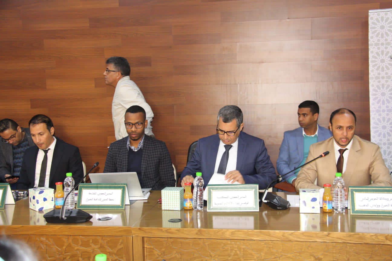
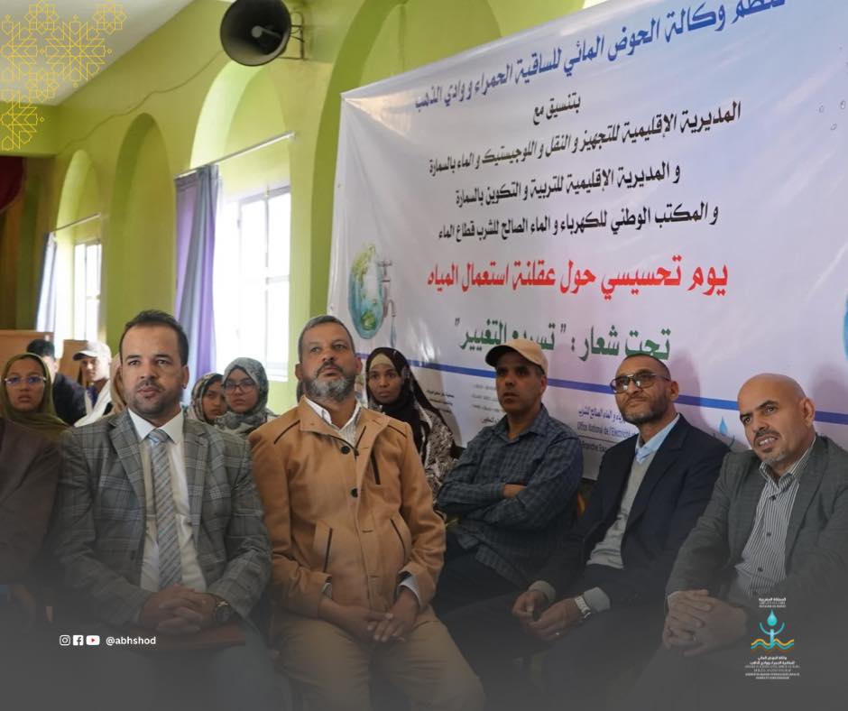
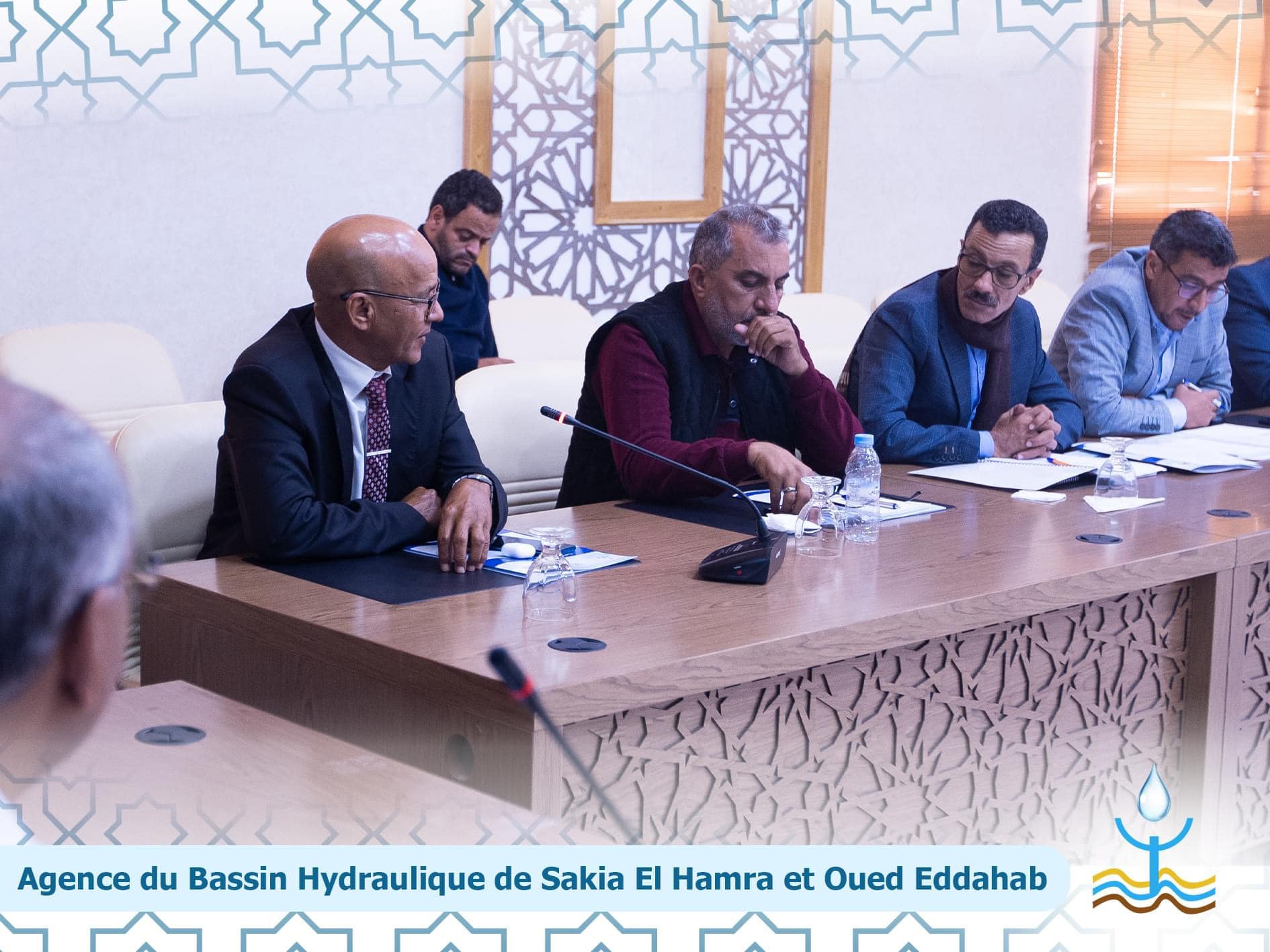
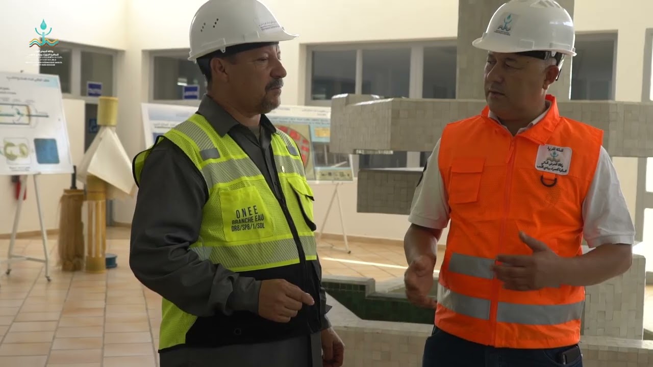
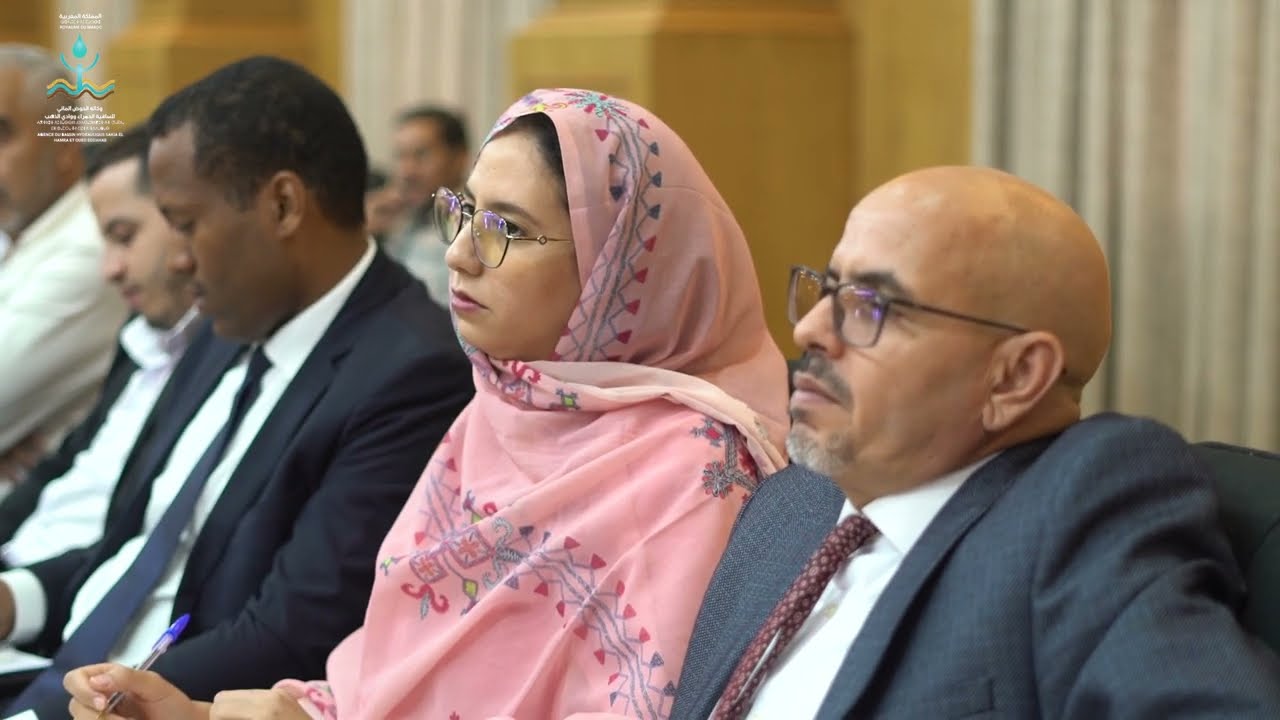
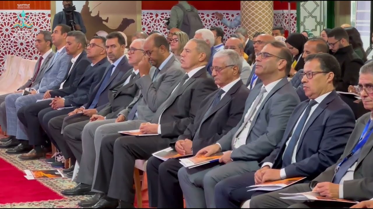
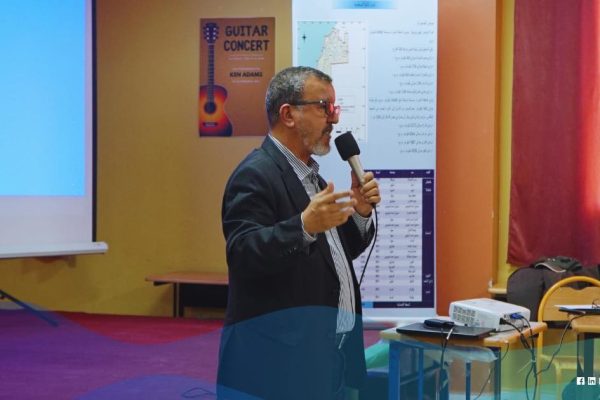
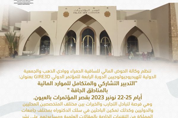
Laayoune hosts an international conference on participatory management of water resources in arid areas.
Laayoune
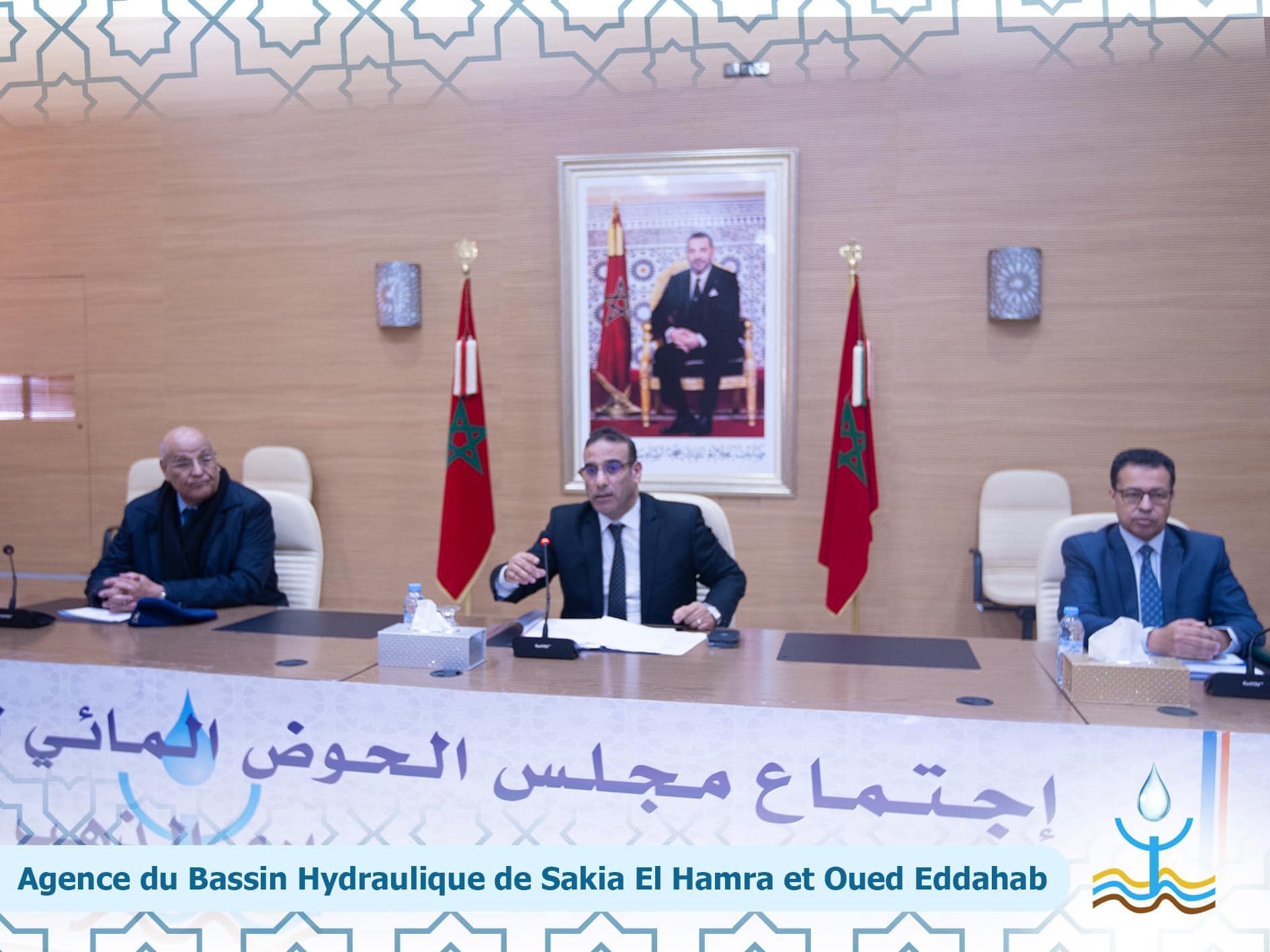
The Hydraulic Basin Agency of Sakia El Hamra and Oued…